
VIVA - New Active Tourism Itineraries in Villanova
Main sections of the site and Thematic sites
Main navigation
VIVA
Discover Villanova
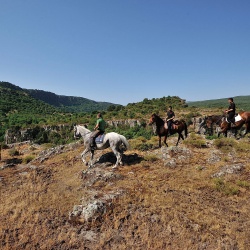
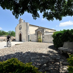
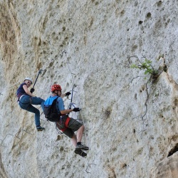
To be seen
In Monteleone Rocca Doria
Castle of the Doria - Monteleone Rocca Doria
Castle of the Doria
Address: Via Castello - 07010 Monteleone Rocca Doria (SS)
In the late twelfth century and during the thirteenth century, a branch of the Doria family of Genoa was able to consolidate its presence in the north west of Sardinia, thanks to a clever marriage policy, which allowed the control of large portions of the Giudicato of Torres, the Anglona, part of the Meilogu and the area of Alghero. The territory was reinforced with the establishment of a network of castles, fortified residences and symbols of power: in the limestone plateau, where Monteleone Roccadoria is located, they erected a massive fortified wall to protect the village and the castle, which ran along the southern slope of the hill - named Su Monte, but that in the past, and even during the Middle Ages, was called Monte Tutar - while the northern areas were naturally defended by steep slopes.
Archaeological excavations (1998-2004) clarified that the area of the castle was much larger than revealed and it probably extended towards the north, up to the current school buildings: it housed accommodation for the ladies and the court, buildings for military garrisons and armaments, and archives containing documents about the estates in the territory. It was possible to identify at least two different phases of construction. The oldest phase can be dated back to the late thirteenth century: a large building, which probably served as a fortified residence, characterised by a rectangular plan (16 m x 10 m) with masonry whose thickness was between 1.50 m and 2 m, divided into two rooms, probably warehouses, roofed with a barrel vault, communicating with each other through an arched opening.
The stately home itself was probably located on the upper floors, arranged on wooden garrets and terracotta bricks floors. The structures were built with large rectangular limestone blocks, perfectly cut and fastened with extremely firm mortar, created by workers specialised in the selection and the processing of materials.
The substantial strengthening of the defences of the castle can be dated back to the second half of the fourteenth century thanks to the finds; the building of the late thirteenth century was incorporated into a defensive path formed by walls and some towers. The entrances to the village were located in the SW and SE areas of the fortification, exactly in the outer limits and in connection with the external roads; near the castle, a quadrangular tower overlooked the gateway still called “Porta Fontana” (“Fountain Gate”) today.
The surrounding wall continued along the southern part of the plateau, for over 800 metres, spaced out by 10-11 circular towers used as lookouts and shelter by the guards, proceeding towards the western part of the hill where, under the other quadrangular tower called “de S’Istrìa”, it ended leaning against the natural vertical and inaccessible walls of Monte Tutar. Life in the medieval village ended in 1436, after two years of siege by an expedition of the Crown of Aragon against the Doria family, which culminated in the destruction of the castle and the village, followed by the decline and the ravage which lasted for centuries.